I've tried a few routes between London and Cambridge, and this is by far the best, both in terms of distance and in terms of traffic. The rural portion between Standon and Stanstead Abbotts is particularly beautiful.
If you're aiming for East London, then you'll want to take the B1383 through Bishop's Stortford towards Epping. Otherwise, the route detailed below, through Enfield, is shorter and more pleasant, avoiding the congestion of the M11 corridor.
The route follows that of the old London-Cambridge coach road, except for the portion from Puckeridge to Hoddesdon where it avoids the A10. You can still see the old mileposts along this route.
Maps: Landranger 154 and 166, and the London A-Z. (On Landranger 166, the route runs near the eastern edge of the map, up against Landranger 167.)
From Cambridge, head south on Trumpington Road.
In Trumpington, bear right at the traffic light onto Hauxton Road, following the signs for the A10 and the M11.
Cross the M11 via the roundabout, pass Church Road on the left in Hauxton, and
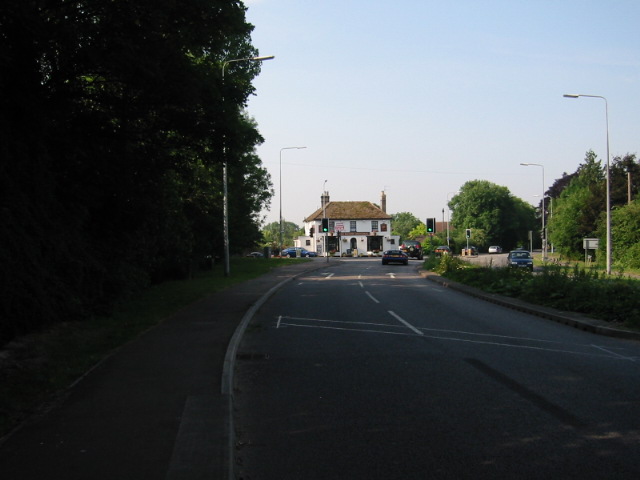
then at the edge of Harston turn left at the Pemberton Arms onto the B1368,
London Road.
Keep on the B1368 through Newton and Fowlmere to Flint Cross.
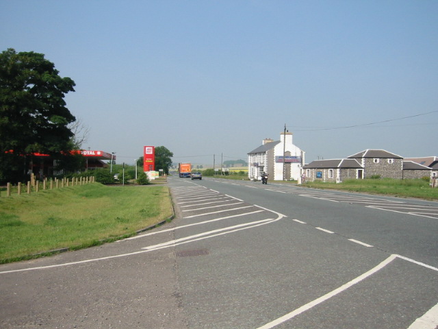
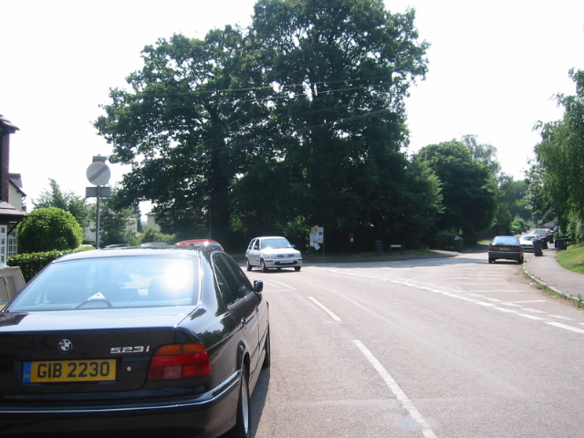
In Flint Cross, turn right onto the A505 towards Royston, pass a Total station,
and then immediately turn left onto the B1368 again.
You may want to stop for food and drink at this Total station, since after 5pm
or on Sundays you may not be able to find any food between here and Hoddesdon,
except for expensive pub food.
On the way into Barley you'll ascend about sixty metres. These are the
steepest hills of the trip. They're not bad, and they're mostly over by the
time you reach Barkway, the next village.
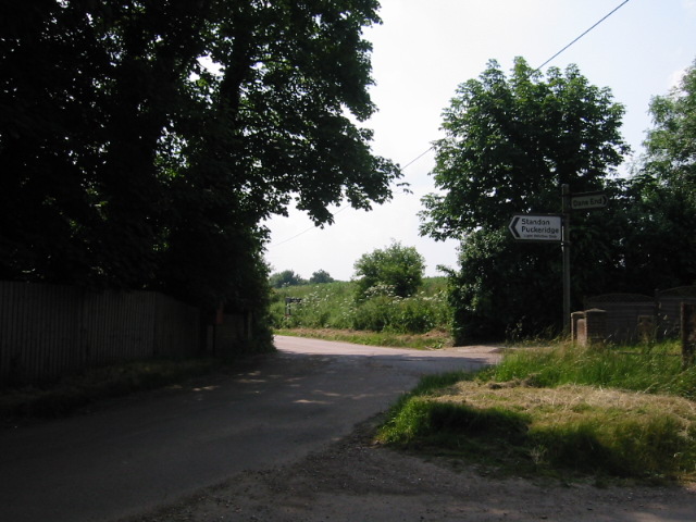
Continue straight through Hare Street, Dassels, Hay Street, Green End, and
Braughing. Cross the River Quin and the River Rib and descend into Puckeridge.
At the edge of Puckeridge, turn left into town, just before the B1368 merges
with the A10.
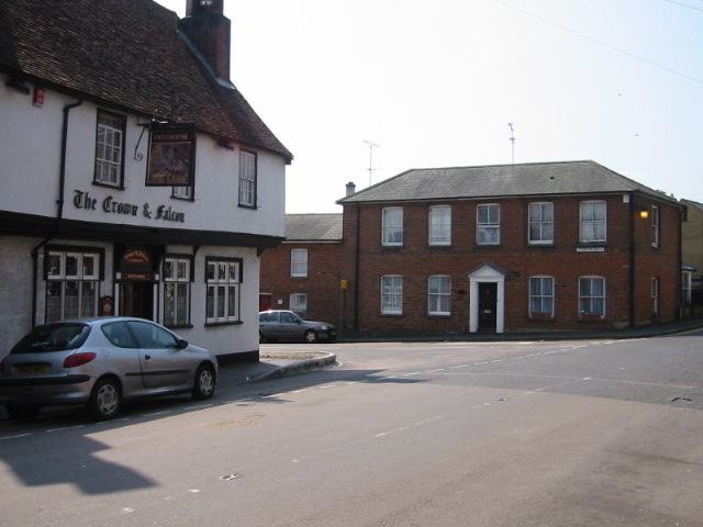
In the centre of Puckeridge, opposite the Crown & Falcon, is a newsagents
where you will almost certainly want to stop for food, since this is your last
opportunity before Stanstead Abbotts.
Then turn left at the Crown & Falcon.
Keep on the main road as a smaller road veers off to the left,
then at the next fork bear right, off the main road, onto South Road into
Standon.
At the south edge of Standon, cross the A120.
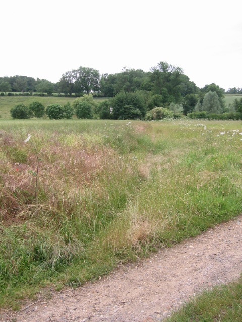
You've just begun the most scenic and restful part of the trip.
Continue straight ahead towards Barwick.
You will enter some woods, and see a metal guard rail on the left.
If it's a warm day, park your cycle against this guard rail,
scurry down the bank to the river Rib, and jump in.
(There's a deeper bit underneath the large overhanging tree,
whose roots make good handholds for getting back up the bank.)
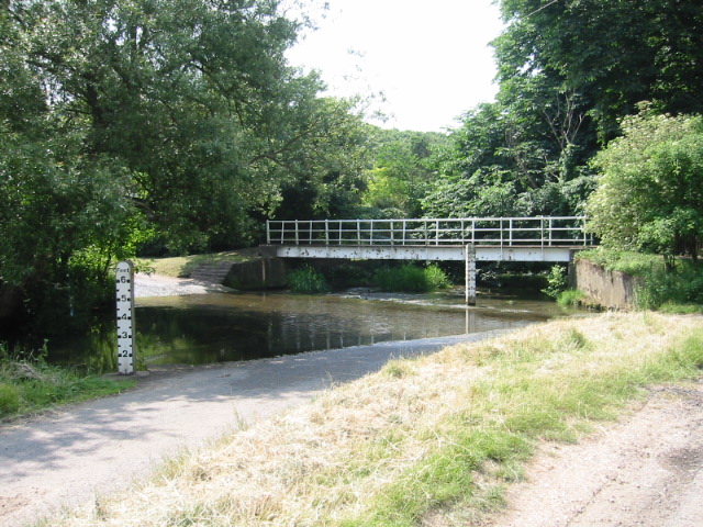
At the intersection just outside Barwick, turn left.
Barwick ford is another opportunity to get your feet wet, in case you missed
it a bit earlier. The water isn't as deep here, though, and the bottom is
rockier.
Cross the river, using the foot bridge or not, as you prefer, and then continue
up the hill.
A bit past the top of the hill, take the first right onto the road opposite
Biggin's Farm.

At Rush Green (a place whose name is known only because it appears on the map),
take the first left, opposite a big tree stump, towards Bakers End.
If you're looking at the map, you may be tempted to take the byway to the right, a short distance after the turn at Rush Green, since it covers a slightly shorter distance to Bakers End. (It comes out in Bakers End in a farm's driveway, so it's easy to miss when one is coming the other direction.) Depending on how recently this byway has been maintained, it may or may not be a quagmire: I've seen it very nicely graded and clear, and I've also seen it rutted and obstructed by an abandoned car.
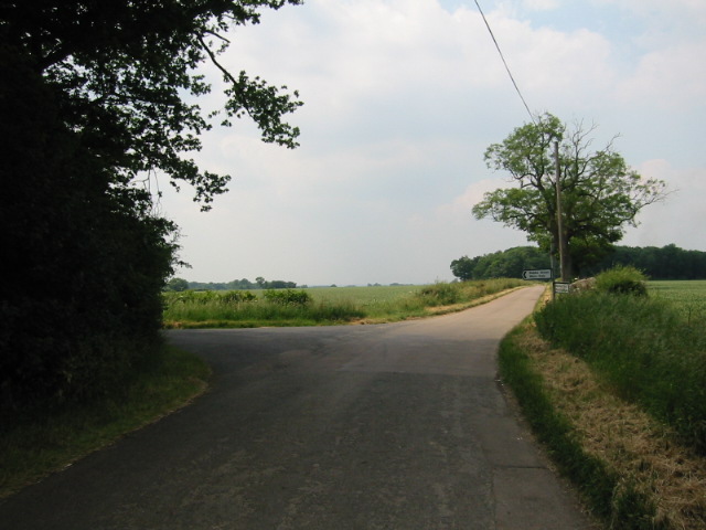
Continue through Bakers End, past the woods on the left, to Babbs Green.
At the phone box in Babbs Green, turn left towards Much Hadham.
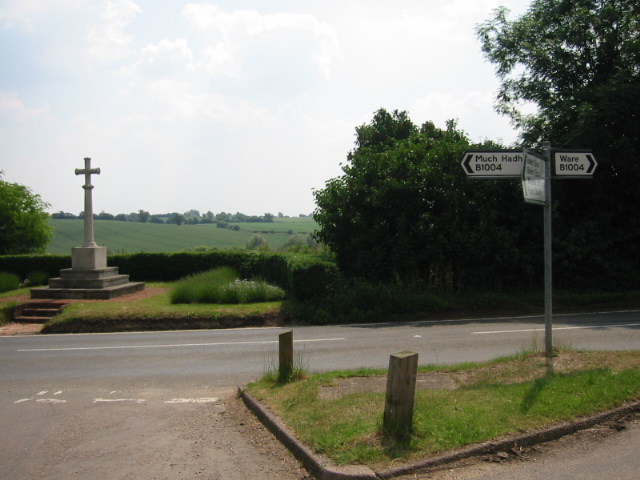
Stay on this main road through Wareside, passing a road on the left and then a
road on the right, till the road ends facing a war memorial on the B1004.
Turn right onto the B1004 towards Ware.
Only a few yards along the B1004, turn left onto a road paved with cement that
descends straight down the hill.
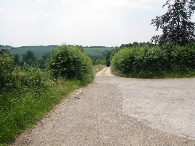
At the bottom of this hill, turn right onto a gravel road.
Very shortly, just before you would cross a bridge, turn left.
To your left, sighting across the River Ash, are two fields separated by a
narrow wooded area. Along your line of sight towards this wooded area there is
a short track that leads to a footbridge over the river.
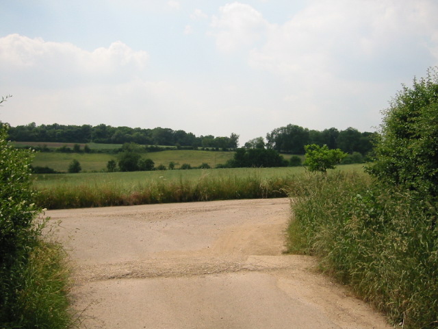
Follow this track (which may be rather overgrown at certain time of year) and cross the footbridge.
You are now near the spot labelled Mardock's Farm on the Ordnance Survey map (though not actually at Mardock's Farm itself).
Straight ahead of you and to the right of the house there is a bridleway leading
up the hill, with trees on the left and a cultivated field on the right.
Follow this bridleway.
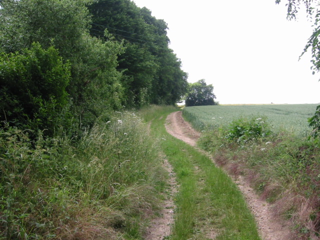
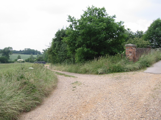
At the top of the hill, bear left along the edge of the wooded area.
Continue straight, crossing another bridleway, and eventually descending on a
narrow track that ends opposite 86 Cappell Lane in Stanstead Abbotts.
Turn left there.
You are now in the Lee valley, which you'll follow all the way into London.
The scenic and restful bit ends abruptly here.
Welcome to the suburbs.
Turn right at the Red Lion onto the high street, crossing one branch of the
River Lee.
Continue through the centre of Stanstead Abbotts, crossing the main branch of the River Lee. (If you fancy more off-road routing, at this point you can turn left and get onto the Lee towpath, which runs all the way into London — thanks to Tom Anderson for posting a route with this information.)
Since you've not bought food at least since Puckeridge, perhaps you're hungry. The shop on the left just before you cross the bridge over the river's third branch has good filled baguettes.
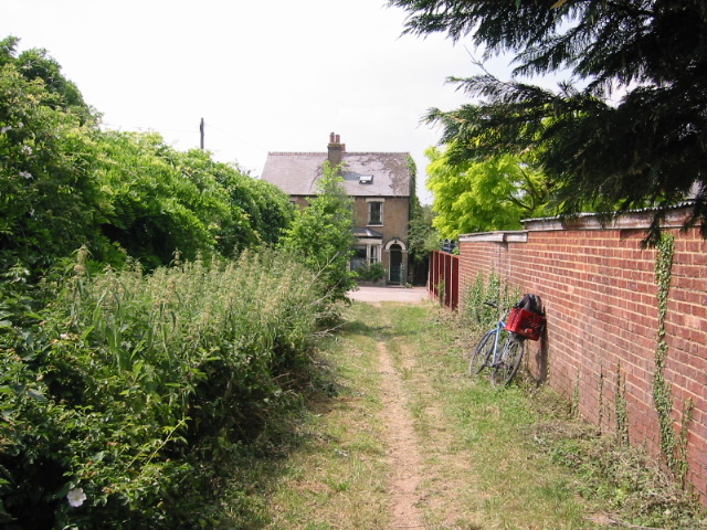
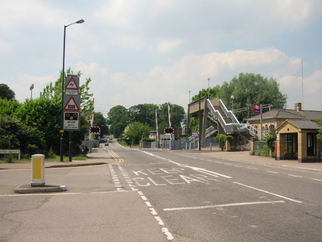
Continue straight into St Margaret's.
Just after you go through the level crossing with the train station on
the right, turn left.
From this point you can't go wrong, since all you have to do is to continue straight into the heart of London.
A bit farther on, just north of Dinant Link Road in Hoddesdon, the road that you're on becomes one-way southbound. (Note that if you're reversing this route, in this area you'll either have to walk or to take the parallel road just to the west. To do the latter, you would bear left onto Amwell Road at the clock tower just south of Dinant Link Road, cross Dinant Link Road via the roundabout, and at the next roundabout turn right onto Duke Street, then left.)
To cross Dinant Link Road, walk your cycle through the pedestrian subway.
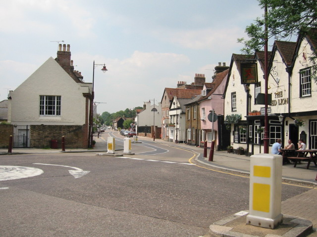
Continue up the hill and past the clock tower on the right,
straight through the centre of town, and join the A1170.
Continue on the A1170 through Spitalbrook, Broxbourne, and Wormley.
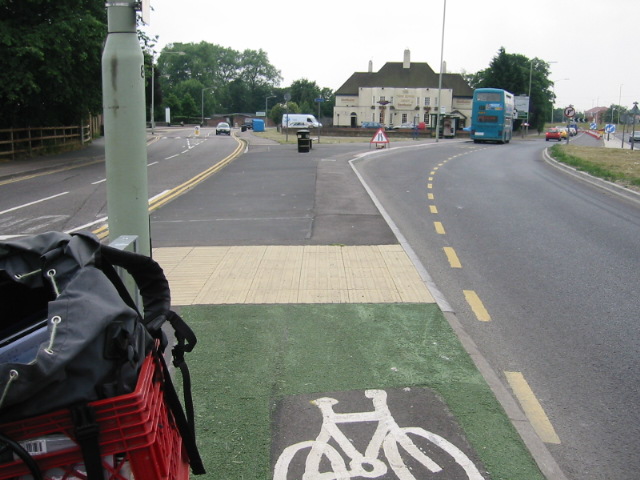
At the edge of Turnford, cross in the cycle lane to the left onto the B176
(The Springs), which passes between a college on the left and the New River
Arms on the right.
Continue straight through Waltham Cross onto the A1010, and into Enfield. You are now in greater London. Depending on where you're going, you may want to turn right onto Lordship Lane or Seven Sisters Road (both on page 31 of the A-Z), or to continue straight to Liverpool Street station, the City of London, and London Bridge.